Vantaanjoki river masterplan
Place: Helsinki, Finland
Team: MASU Planning
Client: City of Helsinki
Size: Approx. 6km river corridor
Timeline: 2024-2025
Reimagining Helsinki’s largest river as a connected green oasis where ecology, recreation and cultural history shape the future city.
The concept plan for Vantaanjoki repositions Helsinki’s largest river as a defining landscape and recreational backbone for the further development of the city. Stretching through multiple districts, the project creates a long-term vision that strengthens ecological networks, improves accessibility and celebrates the river’s cultural and spatial identity. The strategy balances future urban growth with the preservation of natural landscapes, public life and biodiversity along the river corridor.
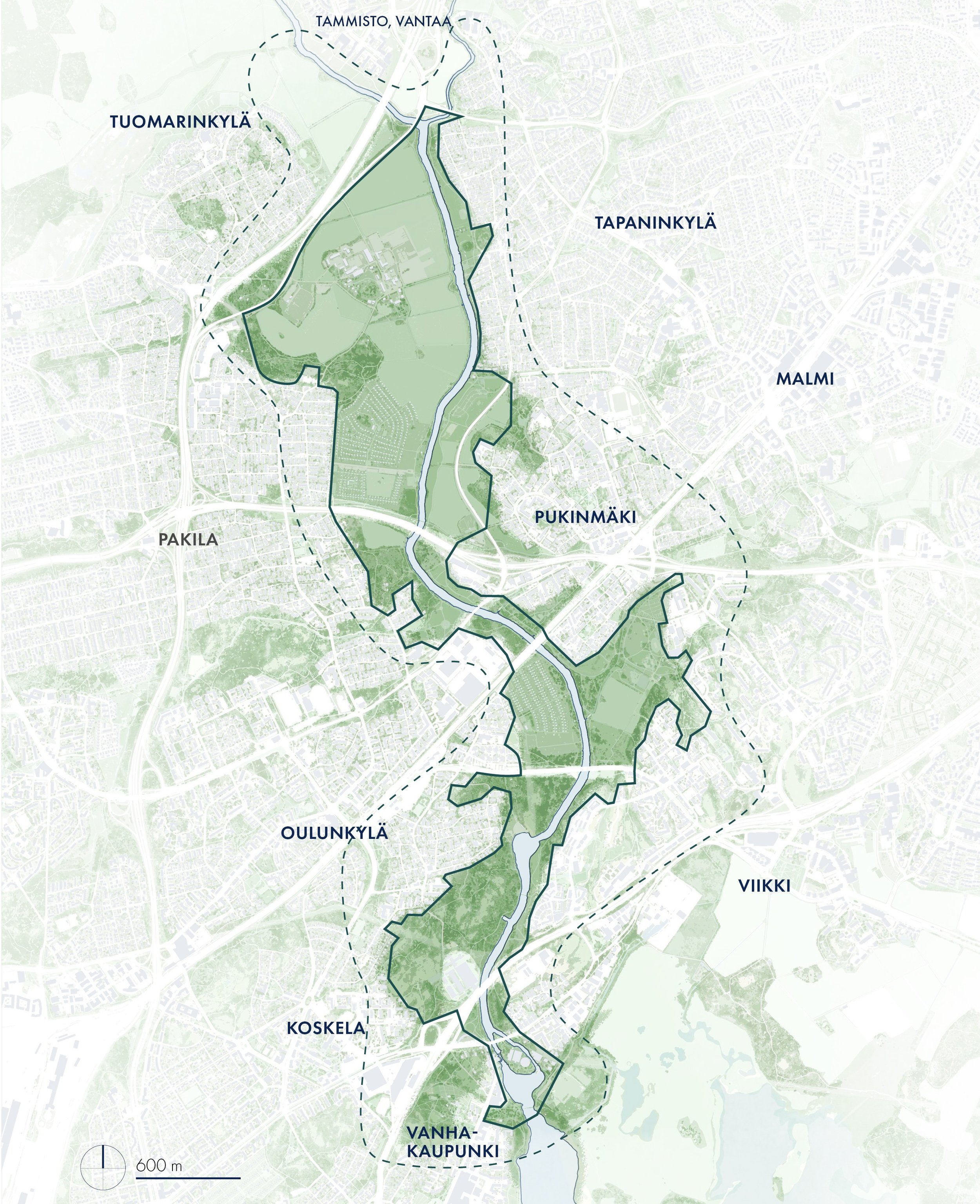
A River at the heart of the city
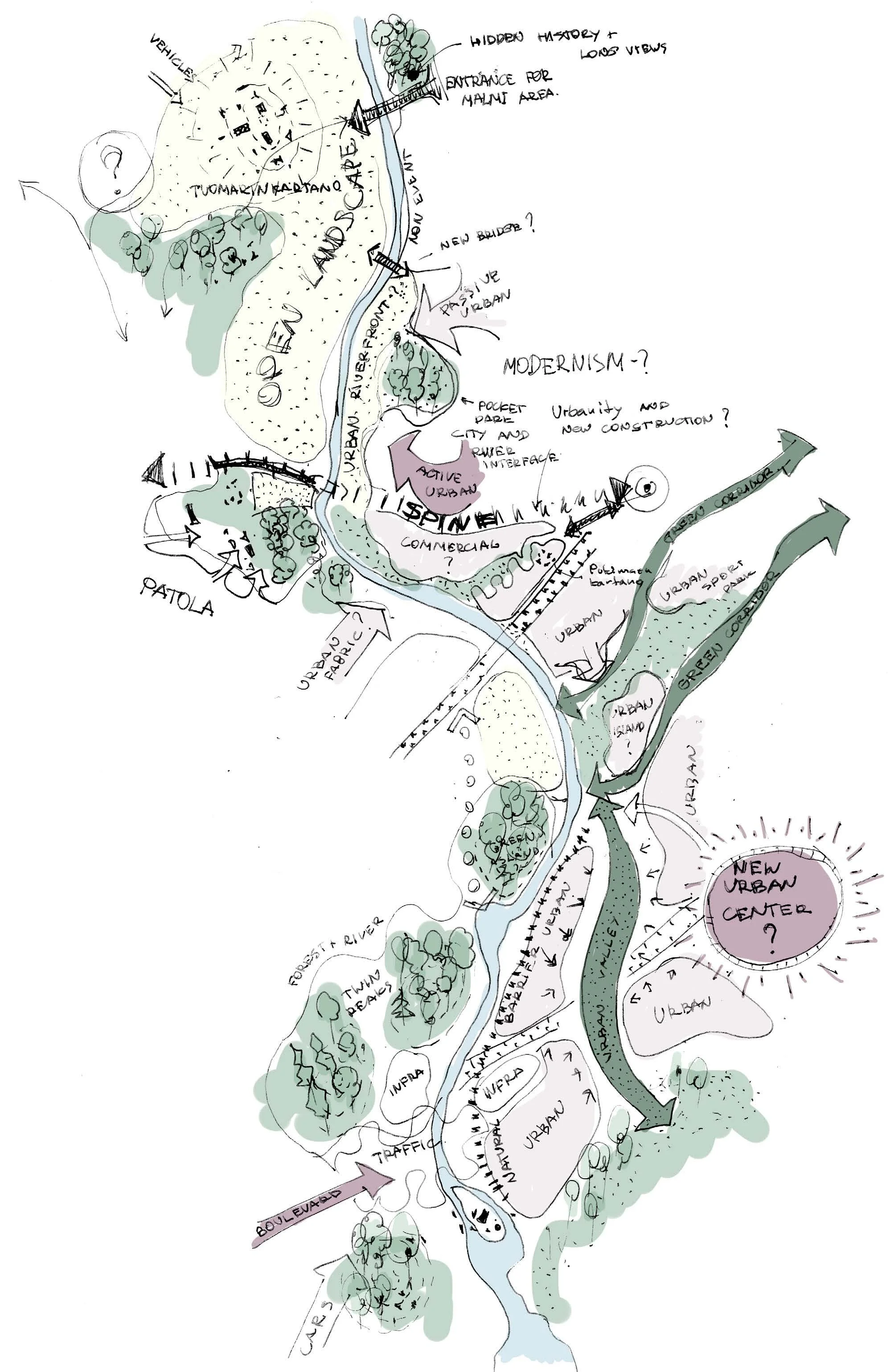
Although the Vantaanjoki flows through several Helsinki districts, the river itself has rarely been treated as a unified planning entity. This project shifts the focus toward the river and recognizes it as one of Helsinki’s most valuable green landscapes — a place where nature, recreation and cultural history intersect within a growing urban environment.
The vision frames the river as the heart and identity of the area. Dense vegetation, open landscapes and carefully preserved views create a unique riverside atmosphere where the surrounding city often disappears from sight. The strategy strengthens these landscape qualities while defining how future development can coexist with the river’s ecological and spatial character.
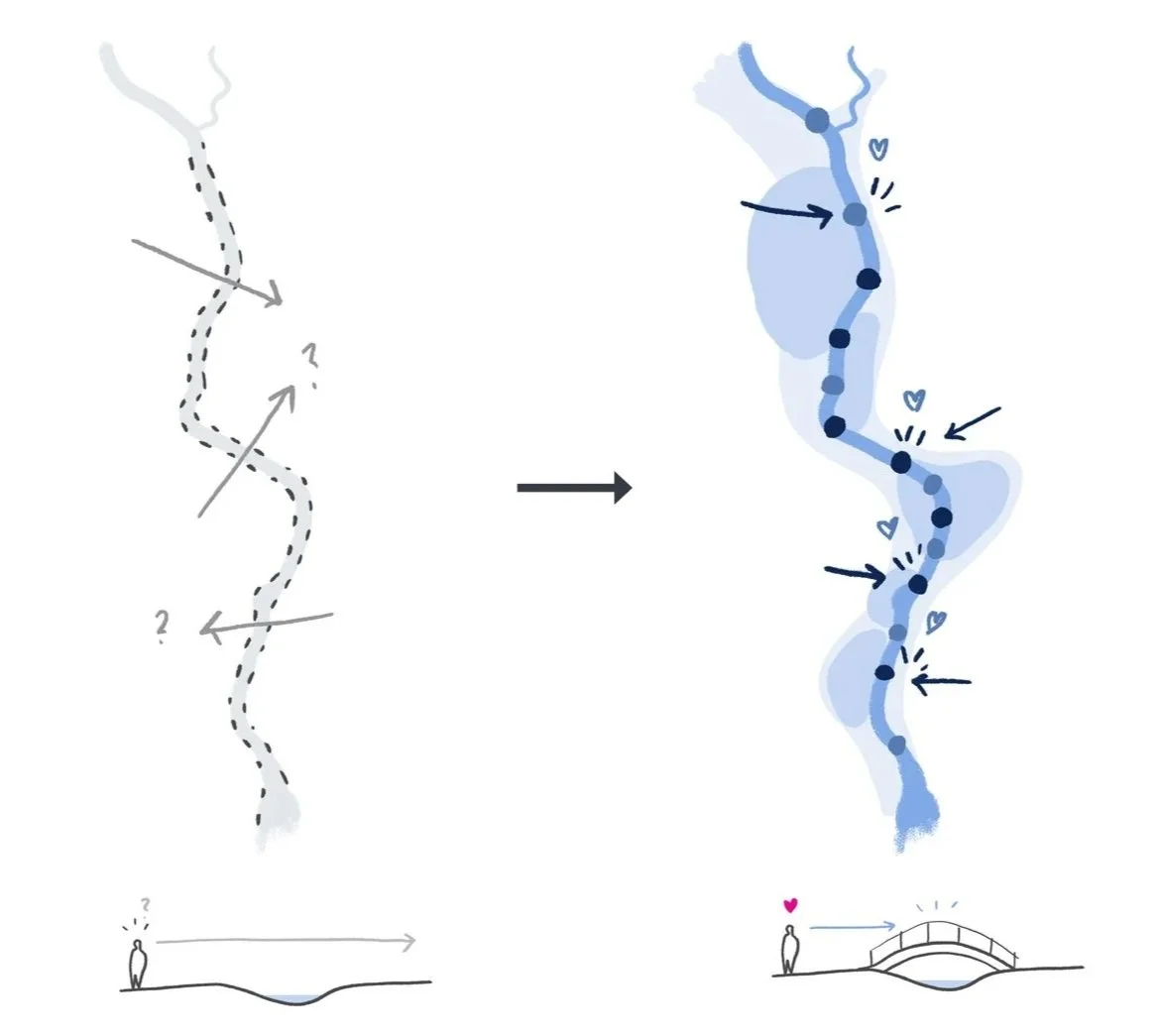
Green recreation and accessibility
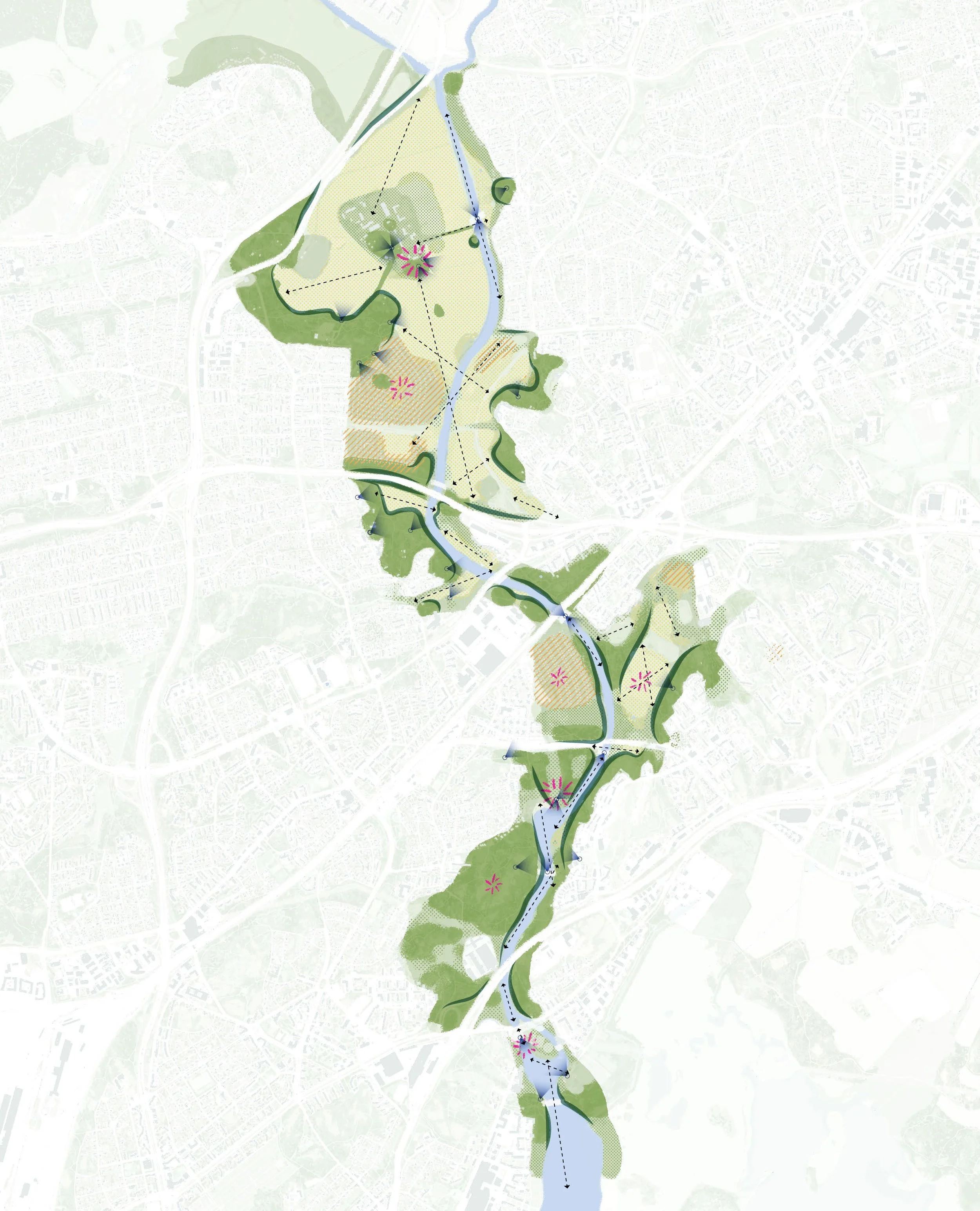
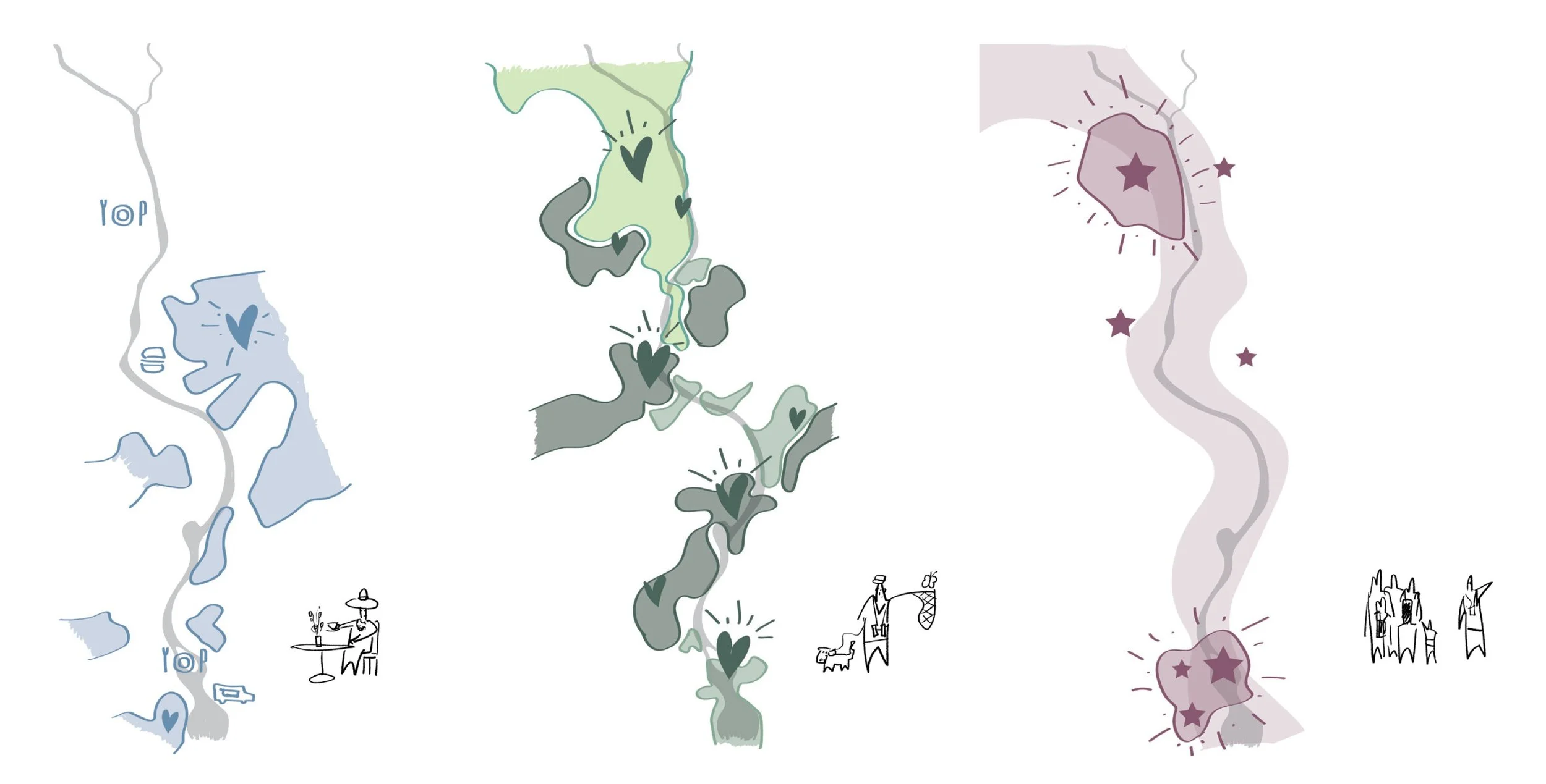
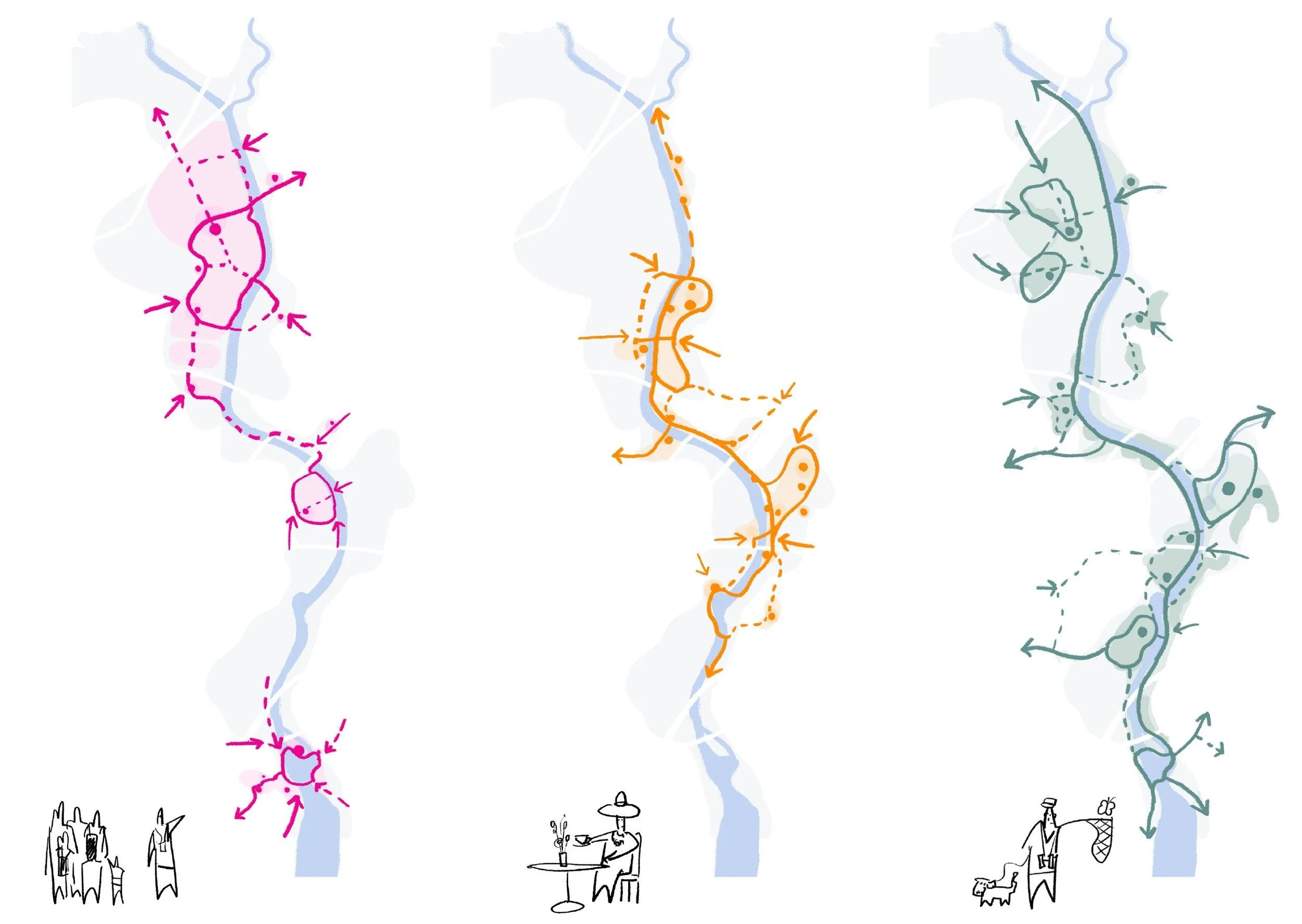
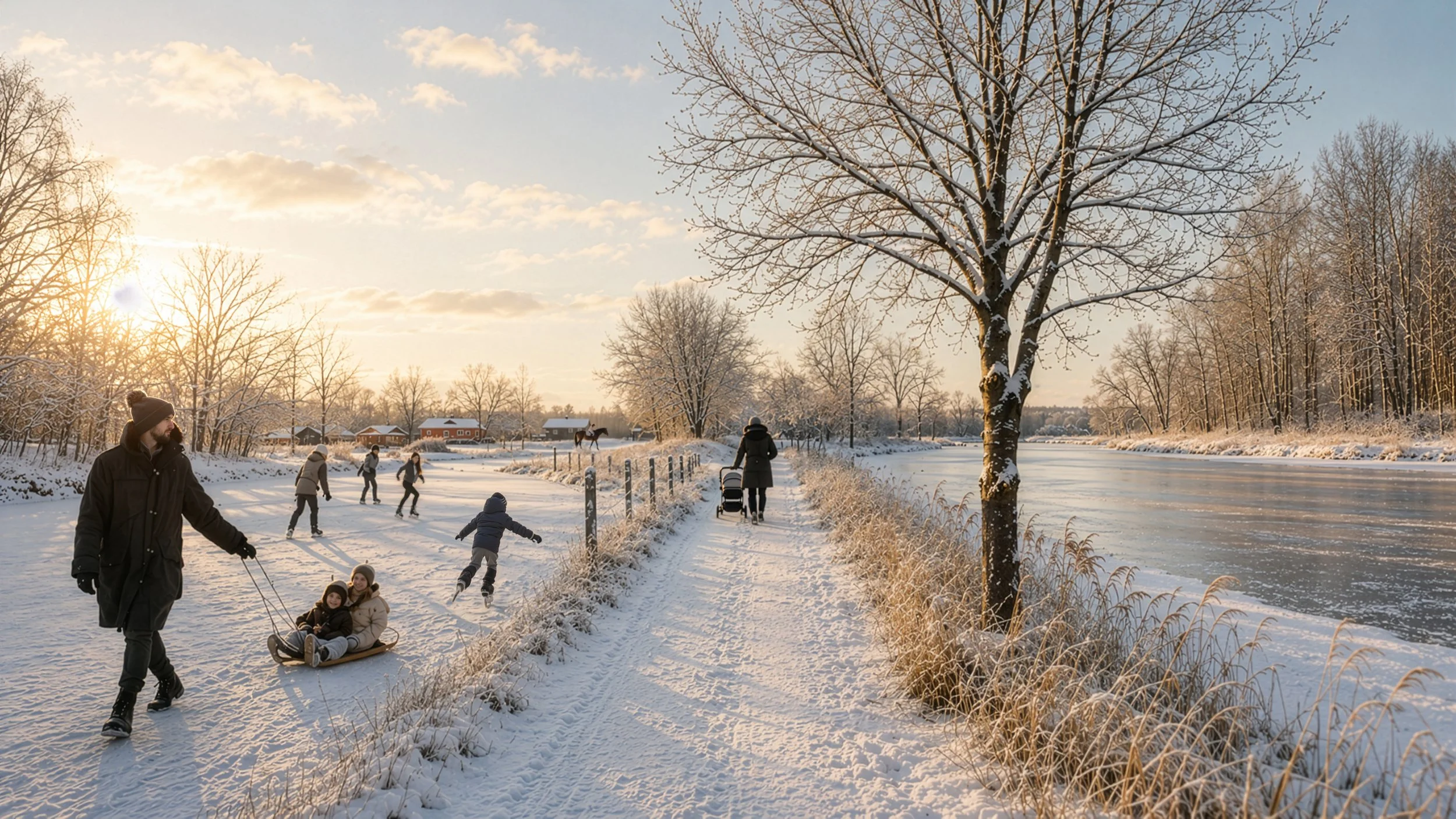
The project envisions the Vantaanjoki as an accessible year-round recreational oasis for both local residents and visitors. New walking and cycling connections improve access across the river corridor and strengthen links between surrounding neighbourhoods, public transport hubs and green areas. A continuous riverside route forms the backbone of the recreational network, complemented by slower nature trails and themed routes focused on culture, landscape and outdoor activities. New bridges, viewing points and waterside interventions bring people closer to the river and transform it into a visible and memorable public destination. The strategy also identifies opportunities for urban recreational spaces in selected locations, while maintaining the predominantly natural character of the riverbanks.
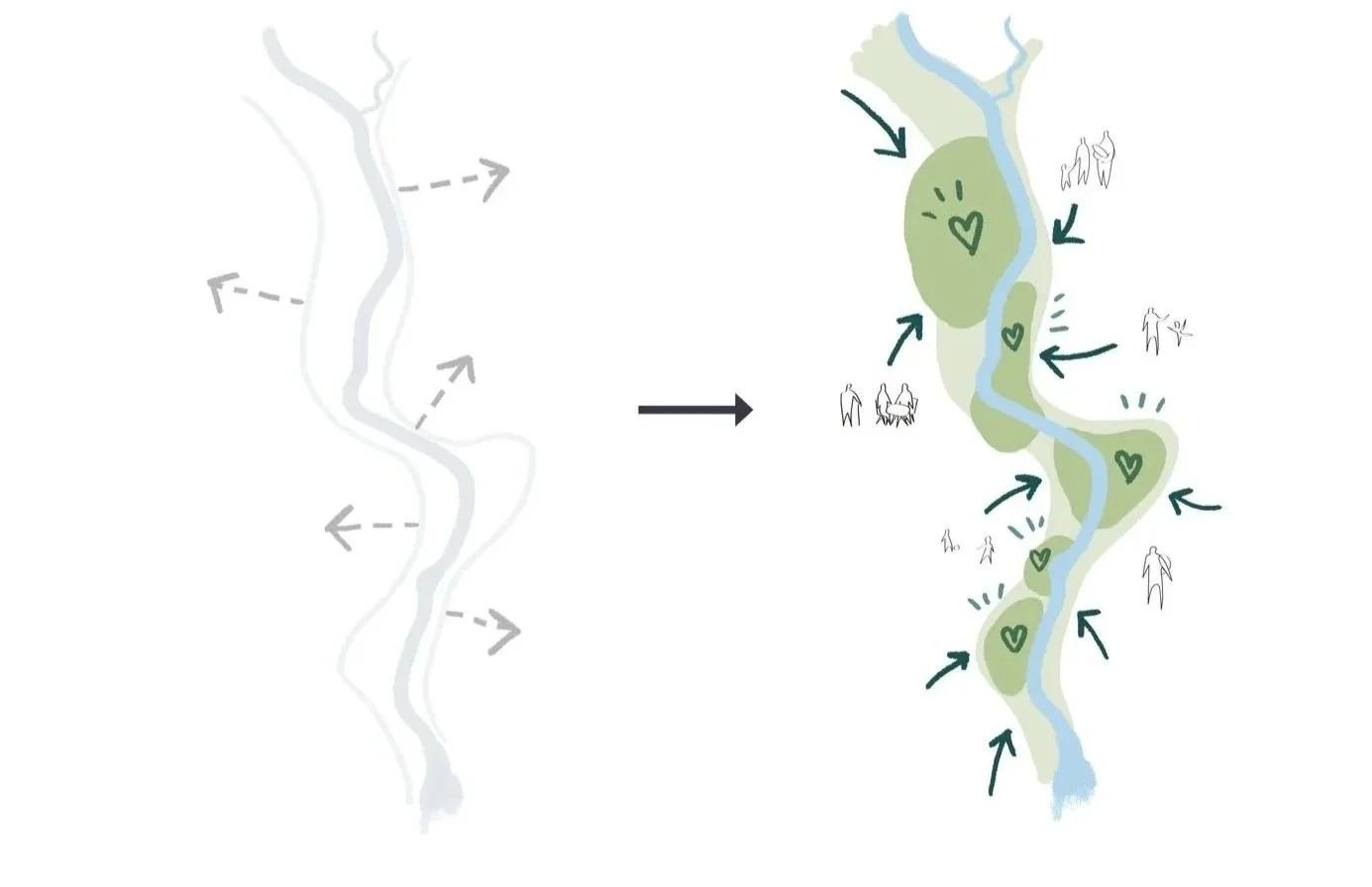
Strengthening ecological networks
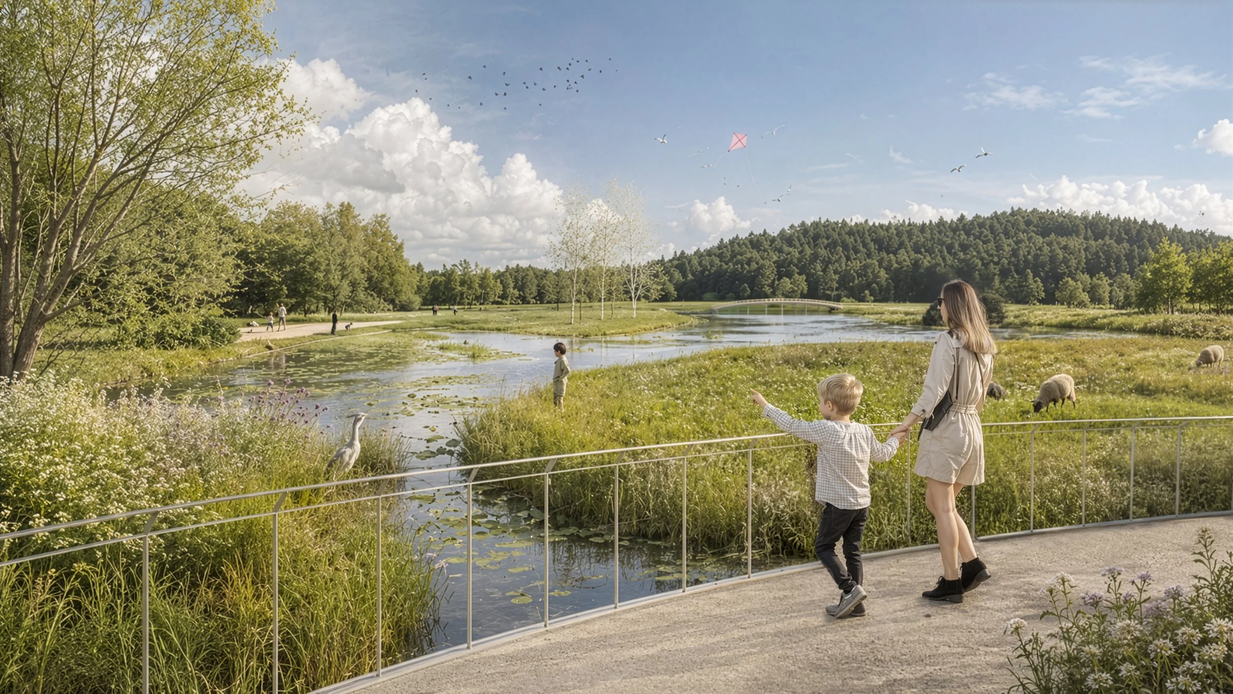
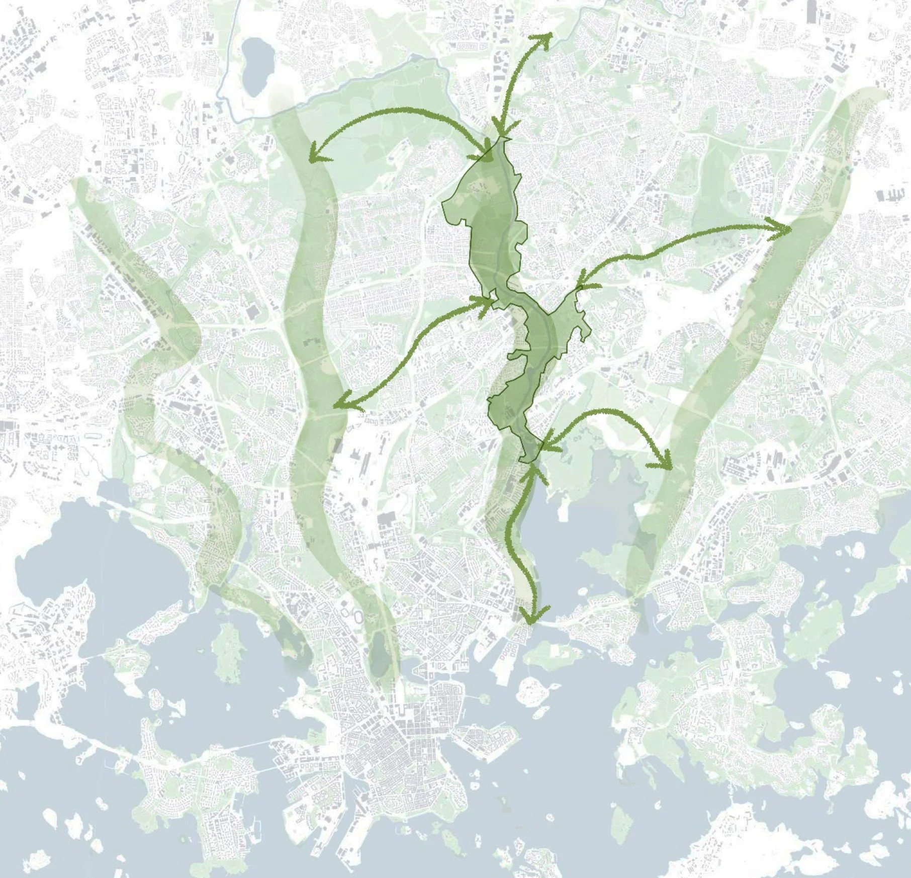
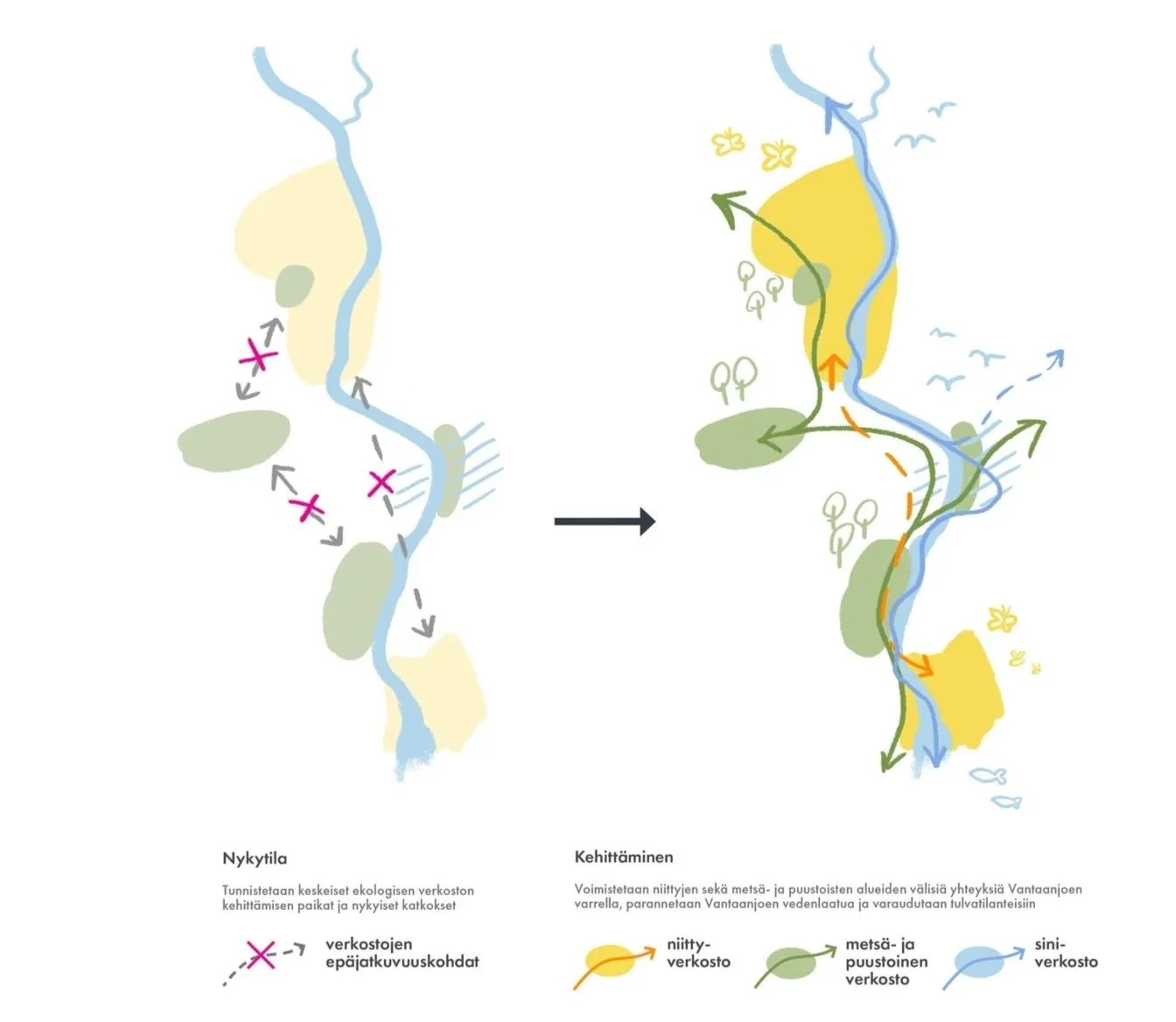
The Vantaanjoki corridor plays a critical role in Helsinki’s ecological structure. Forests, meadows and waterways form interconnected habitats that support biodiversity and climate resilience across the region. The proposal strengthens these ecological networks by improving habitat continuity, enhancing water quality and adapting the landscape to seasonal flooding. Existing barriers caused by infrastructure and fragmented green areas are addressed through new crossings, ecological connections and landscape-based stormwater solutions. Rather than resisting natural processes, the vision embraces the changing character of the river landscape throughout the seasons. Floodplains, wetlands and evolving vegetation become active components of the recreational and ecological experience.
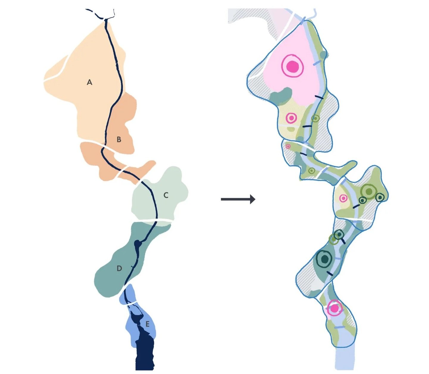
Five distinct landscapes
The river corridor is understood as a sequence of distinct yet interconnected places, each with its own spatial identity and character. From the historical manor landscapes of Tuomarinkylä to the recreational parks, floodplain landscapes and industrial heritage of Vanhankaupunginkoski, the strategy highlights the diversity of environments along the river.
Together, these areas form a continuous green structure that supports future urban growth while protecting the cultural, ecological and experiential qualities that make the Vantaanjoki unique within Helsinki.